Active Layer Thickness site «Barrow» (at site «Barrow», United States) active
General Setup
| Type | Grid  |
| No. of Grid Nodes (X) | 11 |
| No. of Grid Nodes (Y) | 11 |
| Total No. of Nodes | 121 |
| Node Spacing (Offset) | 100 m |
Description
DESCRIPTION OF AREA CONTAINING SITE:
Primary landscape elements: ... [more]
Photo(s)
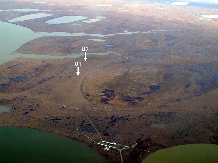
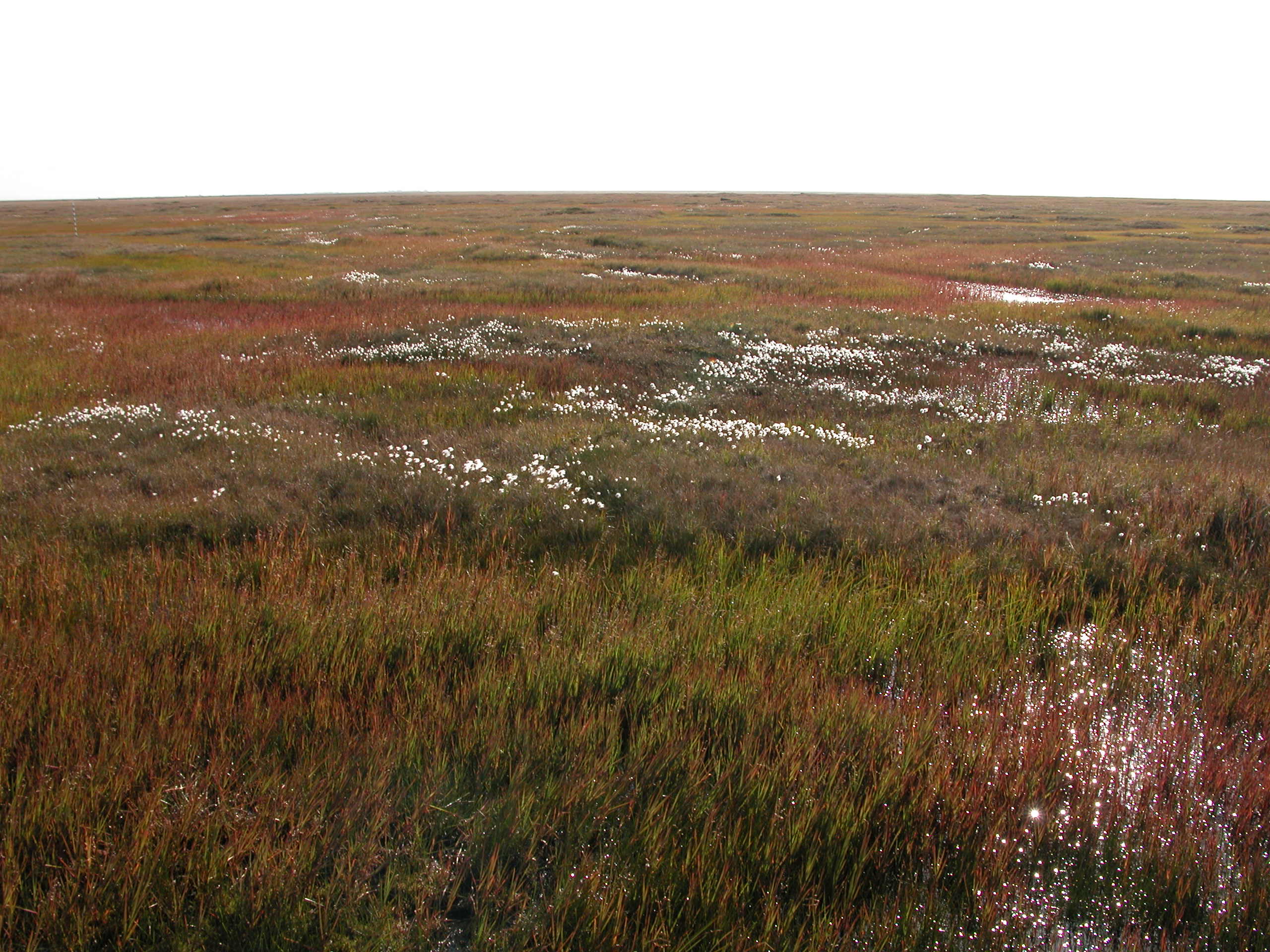
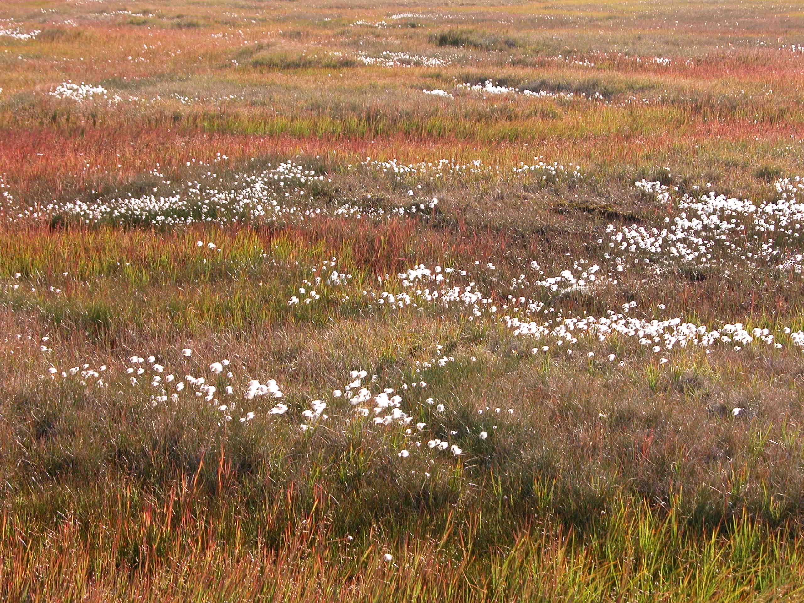
Environmental Setting
| Permafrost Zone | Continuous |
| Vegetation Type | Tundra |
| Vegetation | Graminoid-moss tundra (wet and moist acidic) |
| Hydrology | Outer coastal plain, drained lake basins |
| Landform | Organic Layer thikness:13(cm); mineral texture -- siltty clay loam/loam/gravelly loam ... [more] |
| Lithology | NULL |
| Morphology | NULL |
| Description | NULL |
| Slope | 0° |
| Aspect | 206.1° |
Accessibility
| Type | |
| Distance From Road | m |
Disturbance(s)
| Disturbance | |
| Distance | m |
| Disturbance (Other) | |
| Distance | m |
Contact(s)
Responsible Person
Nikolay Shiklomanov
Principal Investigator on CALM project
The George Washington University, Department of Geography & Environment
1922 F St., NW
20052 Washington
USA
Nikolay Shiklomanov
Principal Investigator on CALM project
The George Washington University, Department of Geography & Environment
1922 F St., NW
20052 Washington
USA
Location
Elevation: 6 m.a.s.l.
Latitude, Longitude: 71.31681°, -156.60404°
Latitude, Longitude: 71.31681°, -156.60404°
How to cite this ALT site
Original Citation(s)
Acknowledged Person(s)
Related Publication(s)
Brown, J. and P.L. Johnson; Pedo-ecological investigation, Barrow, Alaska. U.S. Army CRREL Technical Report 159, 1965.
Brown, J., P. L. Miller, L. L. Tieszen, and F. Bunnell (Eds.), An Arctic Ecosystem: The Coastal Tundra at Barrow, Alaska, John Wiley, New York, 1980.
Brown, J, K. M. Hinkel, and F. E. Nelson, 2000. The Circumpolar Active layer Monitoring (CALM) Program: Research Designs and Initial Results. Polar Geography 24 (3) 165-258 (published in 2002).
Hinkel, K.M. & Nelson, F.E. 2003. Spatial and temporal patterns of active layer thickness at Circumpolar Active Layer Monitoring (CALM) sites in northern Alaska, 1995-2000. Journal of Geophysical Research, Vol.108, No. D2, 8168.
Entry created: 2024-08-26 10:02, Entry last modified: 2026-11-05 14:25 – Time Zone: UTC/GMT -09:00
| Method | Medium | Unit | Accuracy | Frequency | Data Type | Quality | Start | End | Link | Download | ||||||||||||||||||||
|---|---|---|---|---|---|---|---|---|---|---|---|---|---|---|---|---|---|---|---|---|---|---|---|---|---|---|---|---|---|---|
| Active Layer Thickness (grid/transect) | ||||||||||||||||||||||||||||||
| Mechanical Probing | Soil | cm | 0.1 cm | As Needed | Sporadic | Controlled | 1995-08-27 | 2025-08-16 | view | CSV NetCDF | ||||||||||||||||||||
|
By downloading data from GTN-P, you agree to the Data Policy (CC BY 4.0). Data are provided “as-is” without warranties. Users are responsible for their own interpretations and should follow accepted scientific standards. See full Disclaimer. Please cite the data as described in the Data Policy. Statistics & additional information
Entry created: 2024-08-26 10:04, Entry last modified: 2026-06-25 12:58
|
