Borehole «Barrow 2 (N.Meadow Lake 2 NM2)» (at site «Barrow», United States) active
Permafrost Setting
| Permafrost Thickness | m |
| Permafrost Zone | Continuous |
Environmental Setting
| Vegetation Type | Tundra |
| Vegetation | Tundra |
| Hydrology | |
| Landform | Ice wedge polygons are located surround this area incl. beach ridge. |
| Lithology | The Gubik formation (Barrow, and Skull Cliff units) is recognized. Upper 10-15m (Barrow ... [more] |
| Morphology | Old beach ridge |
| Description | |
| Slope | 0° |
| Aspect | 112.4° |
| Prior Records | May 3, 2002: hourly data |
Description
Mean annual air temp. -9.04ºC (2001) Snow depth 28.7 cm (April 2002)
M ... [more]
Measurement Method
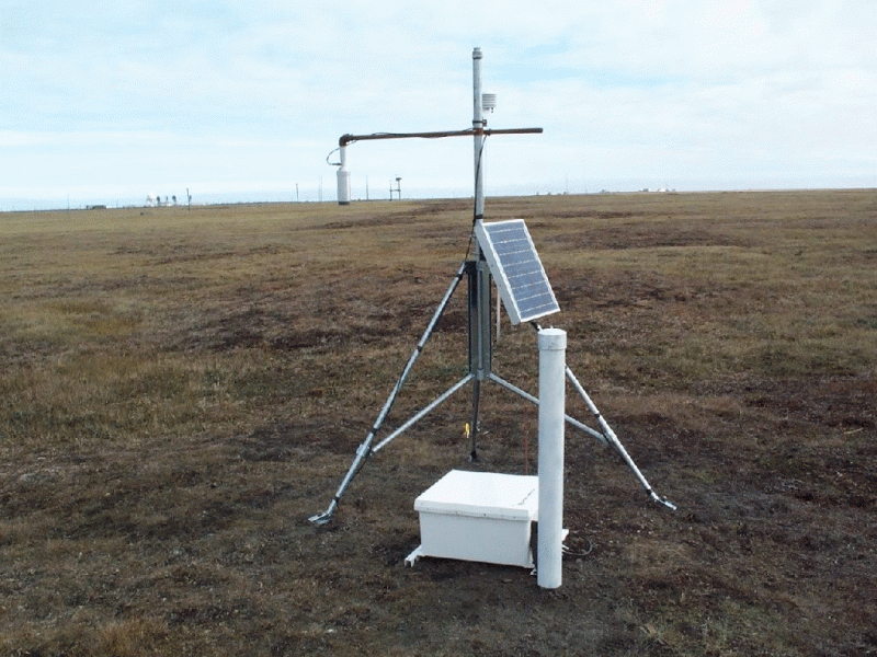
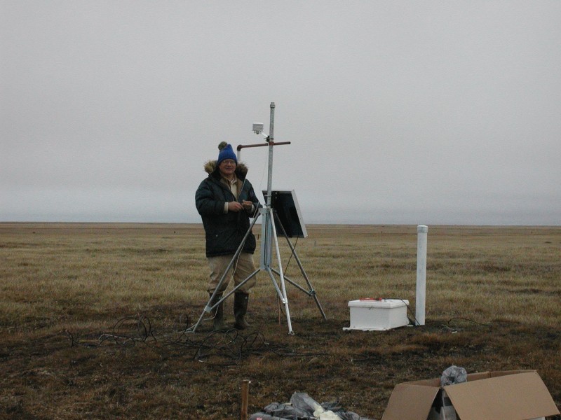
Thermistor cable (25 thermistors) installed permanently, 1”ID PVC pipe casing foe cable ... [more]
Drilling
| Drilling Method | Air rotary |
| Date Drilled | 2002-04-25 |
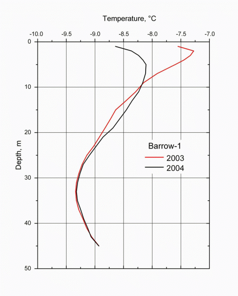
| Depth | 45 m |
| Drilling Angle | 90° |
| Diameter | cm |
| Deepest Sensor | m |
Accessibility
| Type | Walk |
| Distance From Road | 2000 m |
Disturbance(s)
| Disturbance | Lake |
| Distance | 100 m |
| Disturbance (Other) | |
| Distance | m |
Contact(s)
Responsible Person
Vladimir E. Romanovsky
Investigator
University of Alaska Fairbanks Geophysical Institute (UAF-GI)
903 Koyukuk Drive, P.O.Box 757320
99775 Fairbanks
USA
Vladimir E. Romanovsky
Investigator
University of Alaska Fairbanks Geophysical Institute (UAF-GI)
903 Koyukuk Drive, P.O.Box 757320
99775 Fairbanks
USA
Location
Elevation: 6.2 m.a.s.l.
Latitude, Longitude: 71.31053°, -156.65405°
Latitude, Longitude: 71.31053°, -156.65405°
Photo(s)
How to cite this borehole
Original Citation(s)
Acknowledged Person(s)
Related Publication(s)
Entry created: 2024-08-21 12:14, Entry last modified: 2026-10-30 13:12 – Time Zone: UTC/GMT -09:00
| Frequency | Data Type | Medium | Unit | Method | Accuracy | Quality | Start | End | Link | Download | ||
|---|---|---|---|---|---|---|---|---|---|---|---|---|
| There are no datasets available for this borehole! |
