Active Layer Thickness site «Parsons Lake» (at site «Mackenzie Delta», Canada) inactive
General Setup
| Type | Borehole  |
| Depth | 2 m |
Description
Active-Layer Thickness is inferred from ground temperature profile measurements at 2.5, ... [more]
Photo(s)
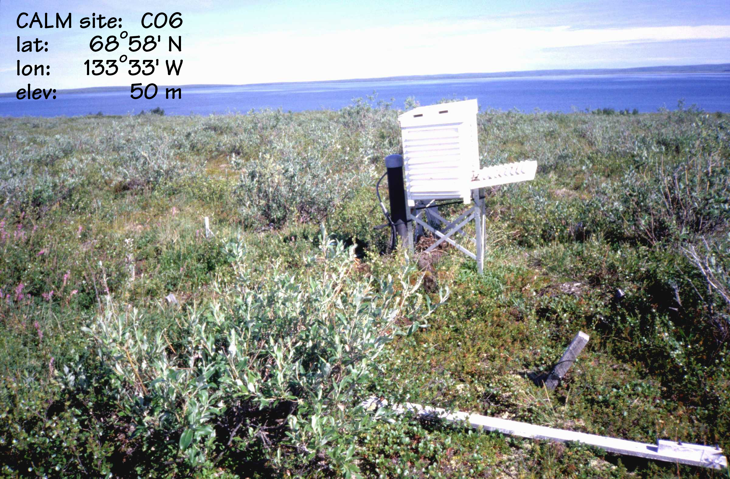
Environmental Setting
| Permafrost Zone | Continuous |
| Vegetation Type | Shrub Tundra |
| Vegetation | Medium shrub tundra |
| Hydrology | |
| Landform | Undulating morainal plain |
| Lithology | Orthic Eutric Turbic Cryosol Loam (1 cm) |
| Morphology | |
| Description | general description of soil moisture : moist |
| Slope | 2° |
| Aspect | 213° |
Accessibility
| Type | |
| Distance From Road | m |
Disturbance(s)
| Disturbance | |
| Distance | m |
| Disturbance (Other) | |
| Distance | m |
Contact(s)
Responsible Person
Charles Tarnocai ORCID
Agriculture and Agri-Food Canada (AAFC)
960 Carling Ave
K1A 0C6 Ottawa
Canada
Charles Tarnocai ORCID
Agriculture and Agri-Food Canada (AAFC)
960 Carling Ave
K1A 0C6 Ottawa
Canada
Location
Elevation: 33 m.a.s.l.
Latitude, Longitude: 68.966°, -133.55°
Latitude, Longitude: 68.966°, -133.55°
How to cite this ALT site
Charles Tarnocai: Active Layer Thickness (ALT) at «Parsons Lake» (Canada). CALM Code: C6, GTN-P PID: alt/175.
Original Citation(s)
Acknowledged Person(s)
Related Publication(s)
Entry created: 2024-08-26 10:02, Entry last modified: 2026-05-13 12:06 – Time Zone: UTC/GMT -07:00
| There are no datasets available for this ALT site! |